Wind energy

Onshore wind farms from the first idea to operation

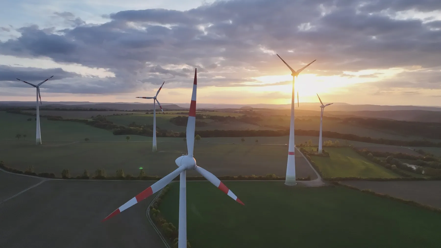
Site assessment, permitting, construction and operation from one source: wind farms in Rheinland-Pfalz, Saarland and Thüringen.

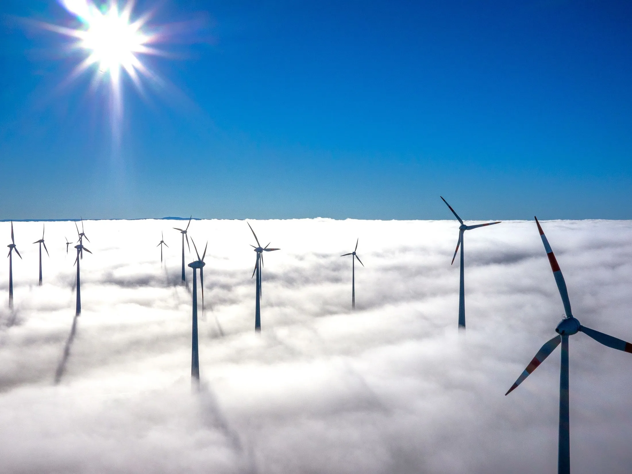
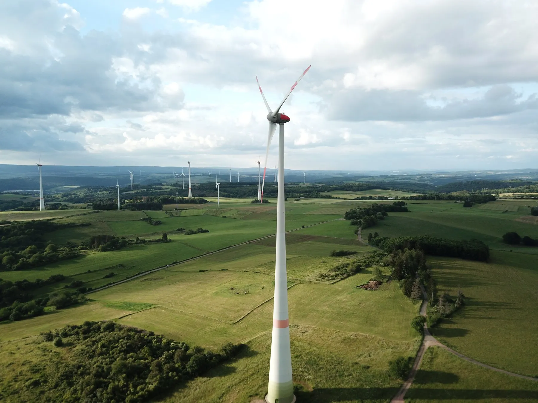
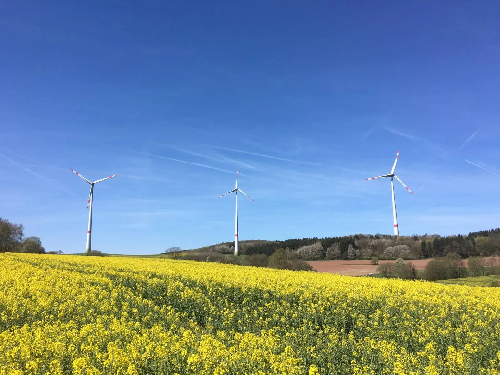
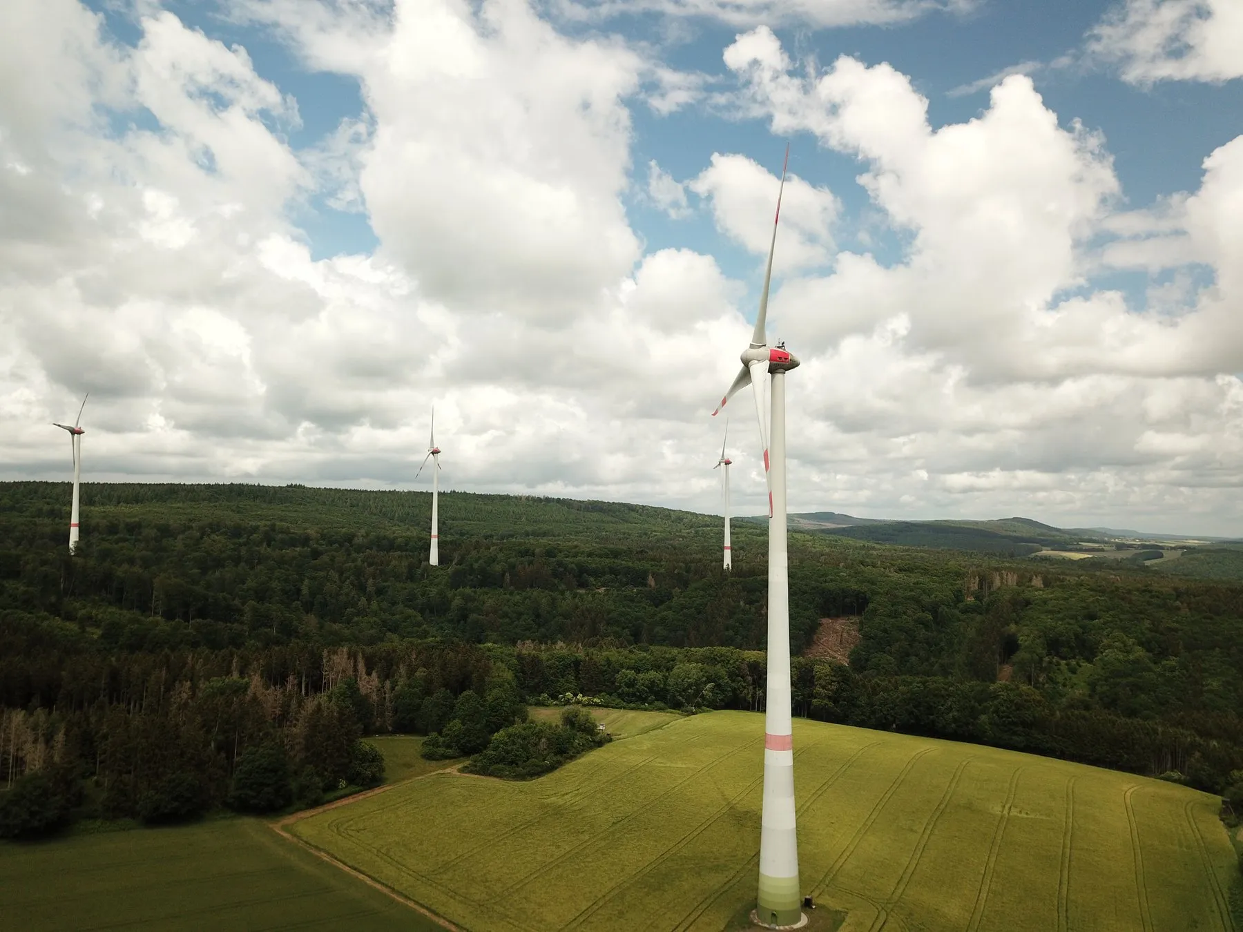
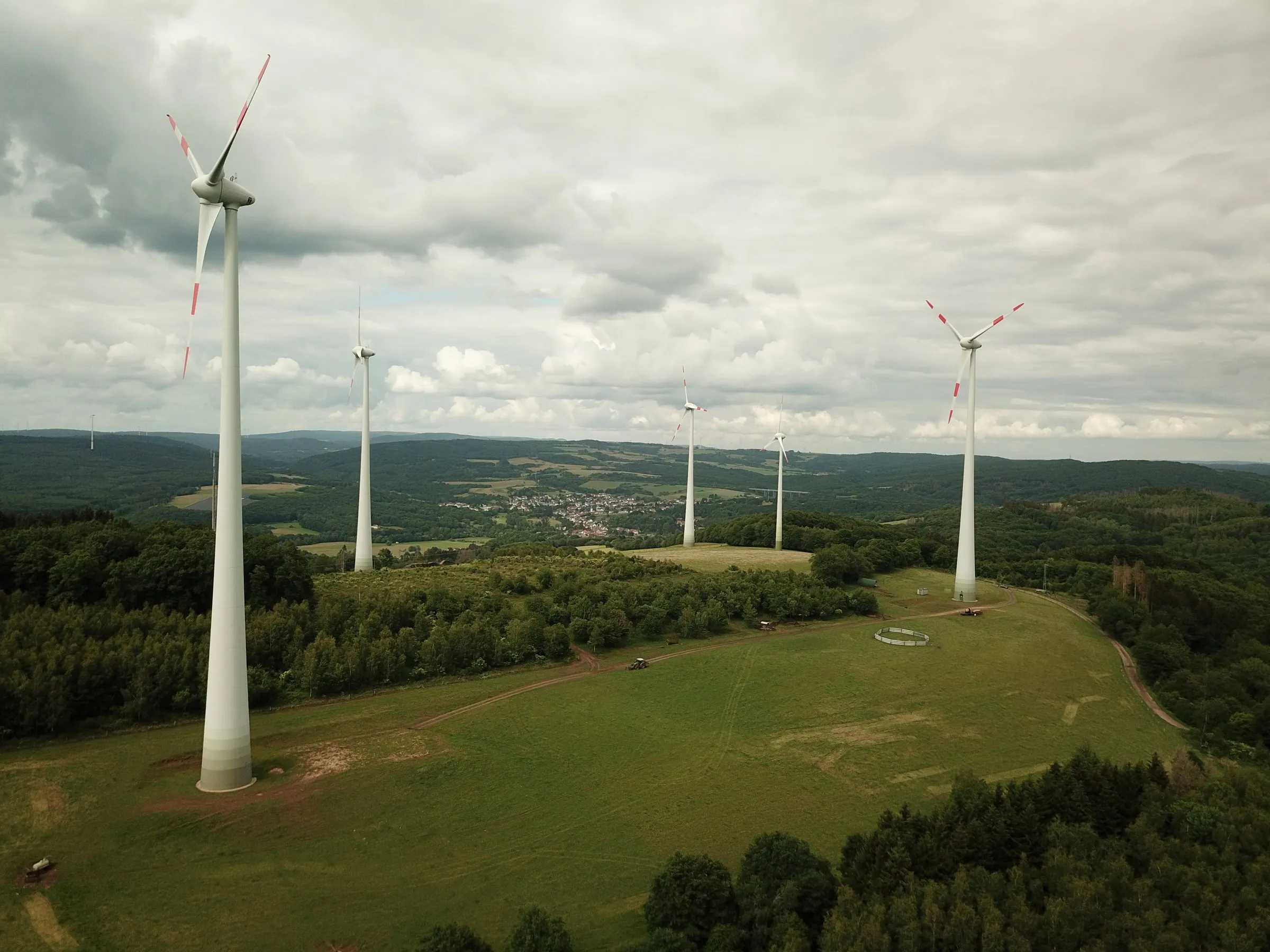
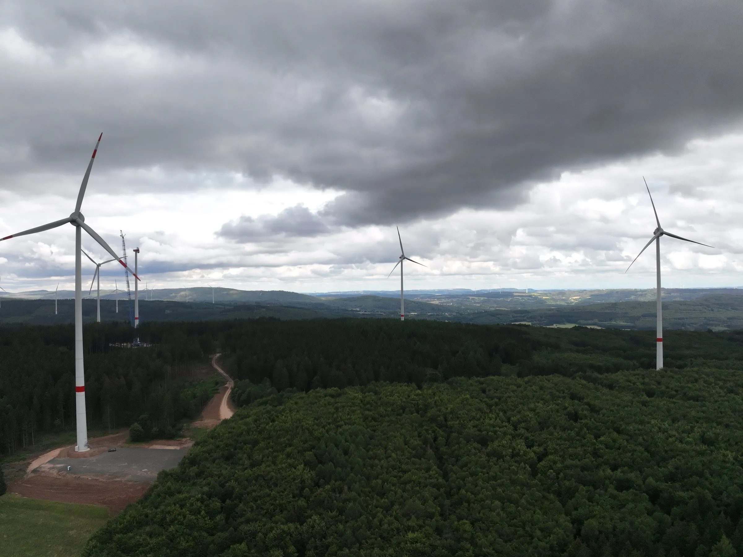
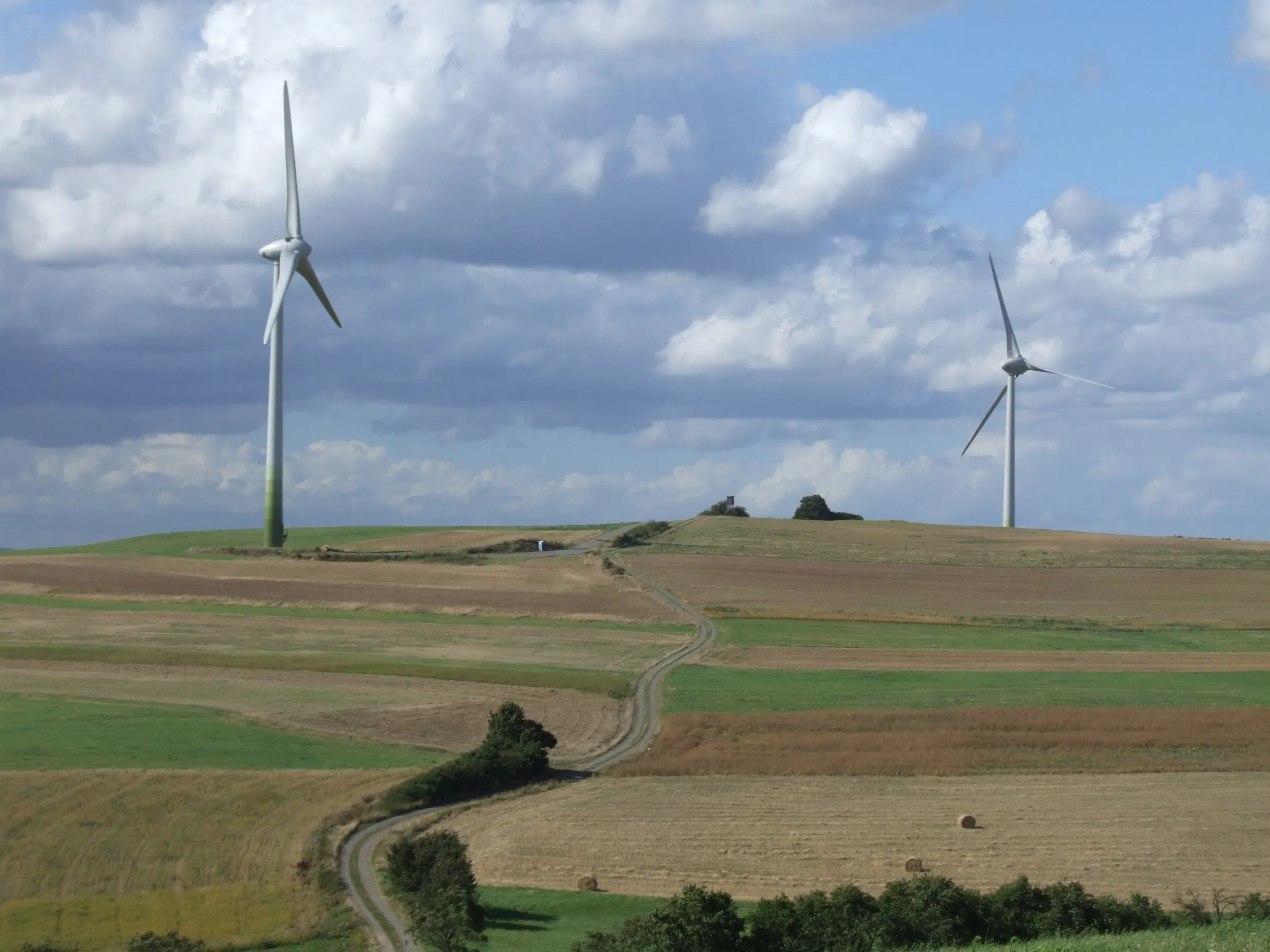
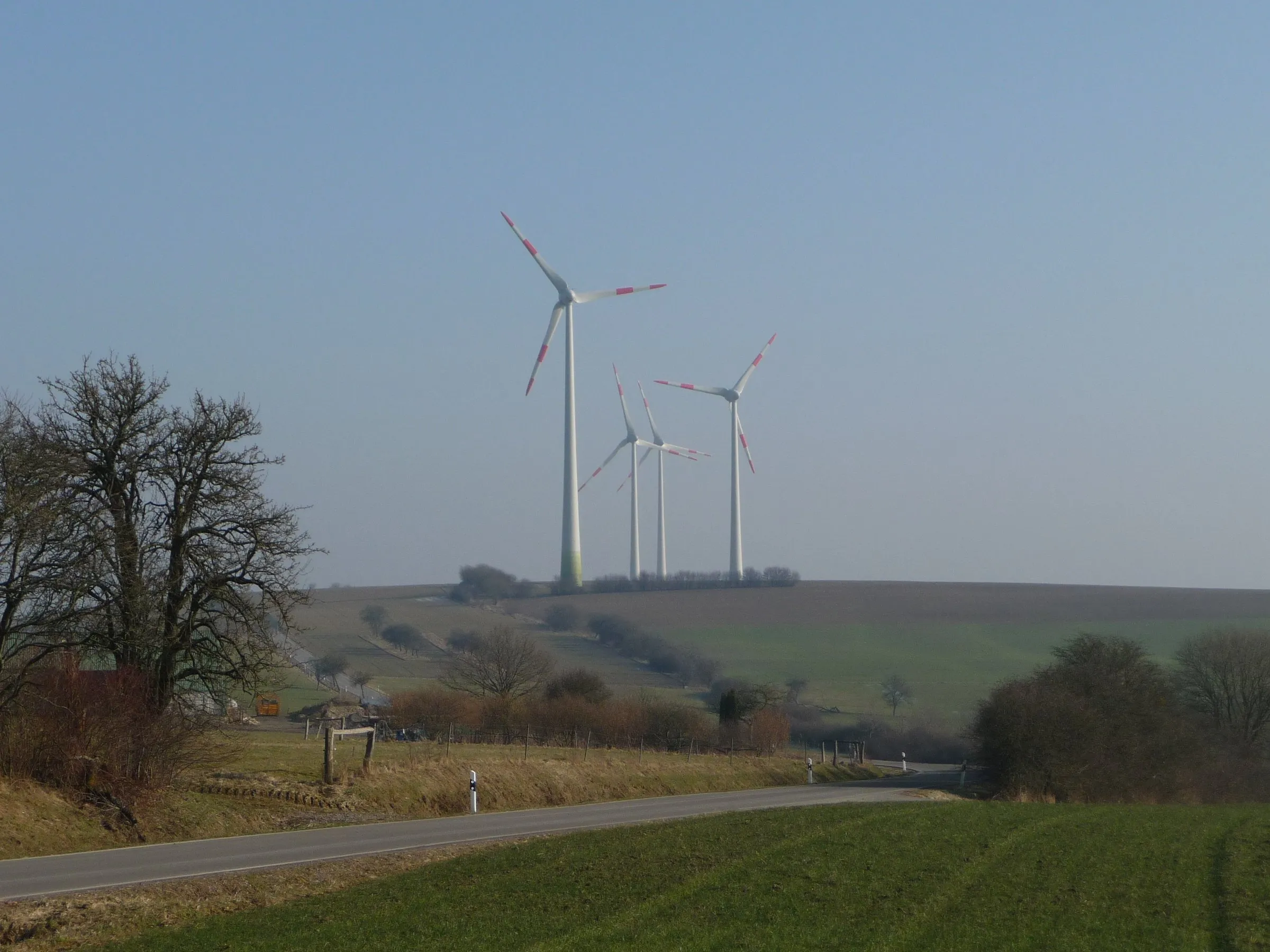
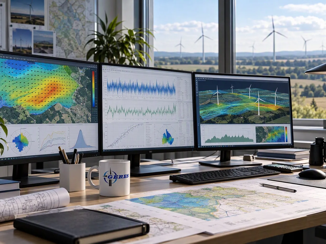
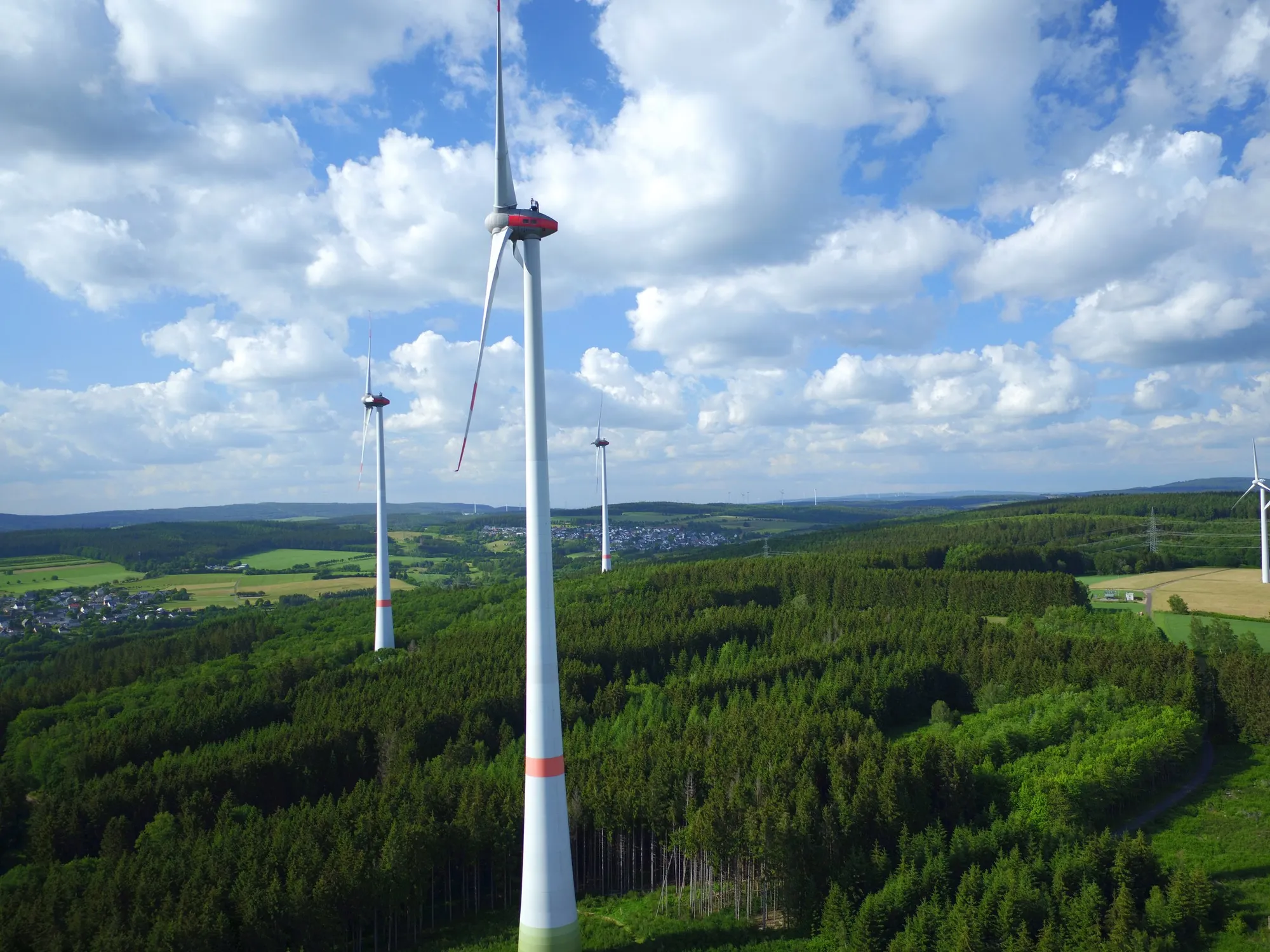
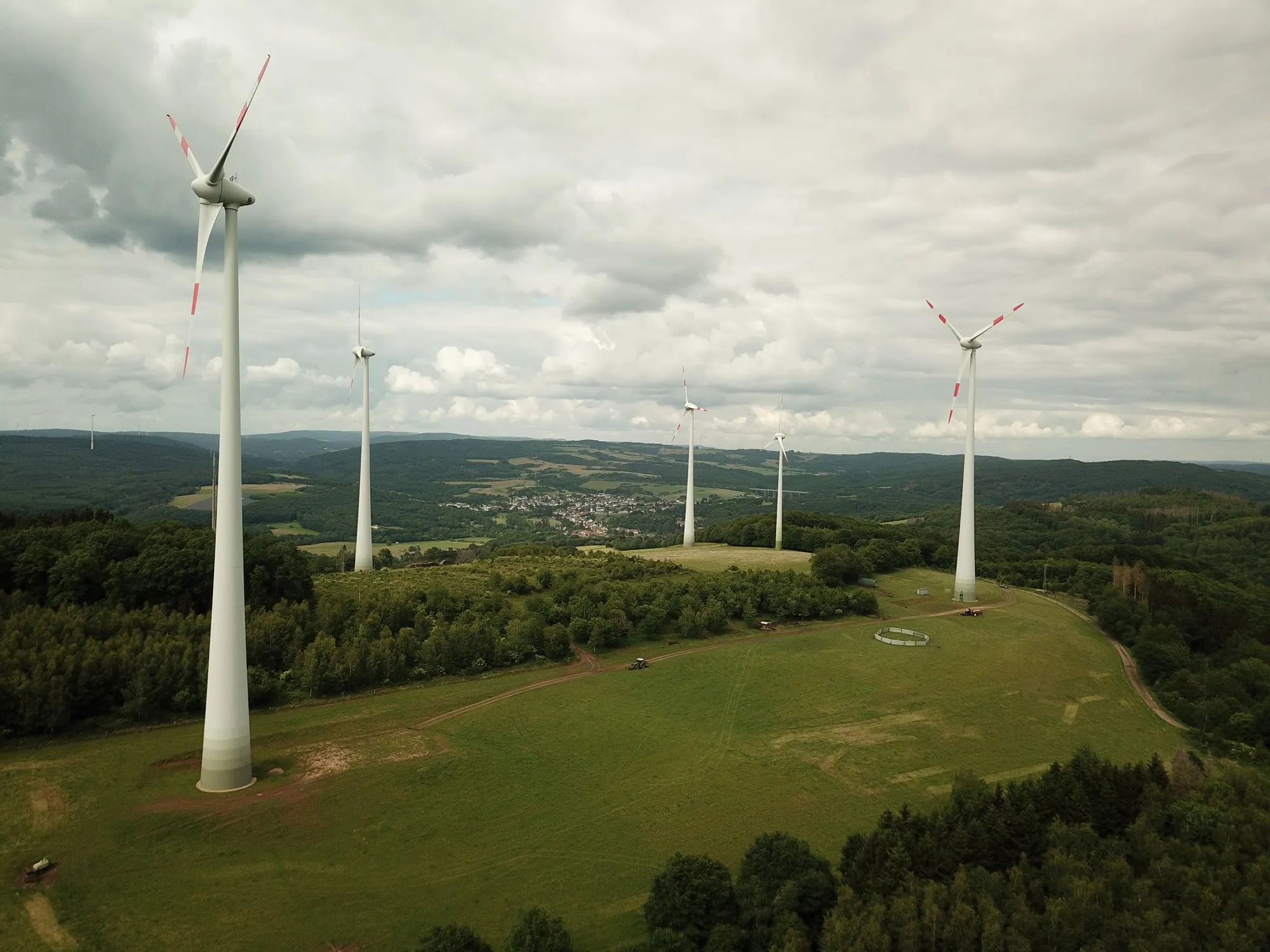
In its wind energy business, the GERES-Group develops, builds and operates onshore wind farms at selected sites in Germany. We accompany every project along the entire value chain: from the evaluation of sites and the necessary expert reports through land agreements, permit planning and construction to long-term operations management.

As a project developer, we do not only build wind farms, we also keep them in our own portfolio for the long term. This makes us an independent power producer (IPP) at the same time, and we remain responsible over the entire life of a project.

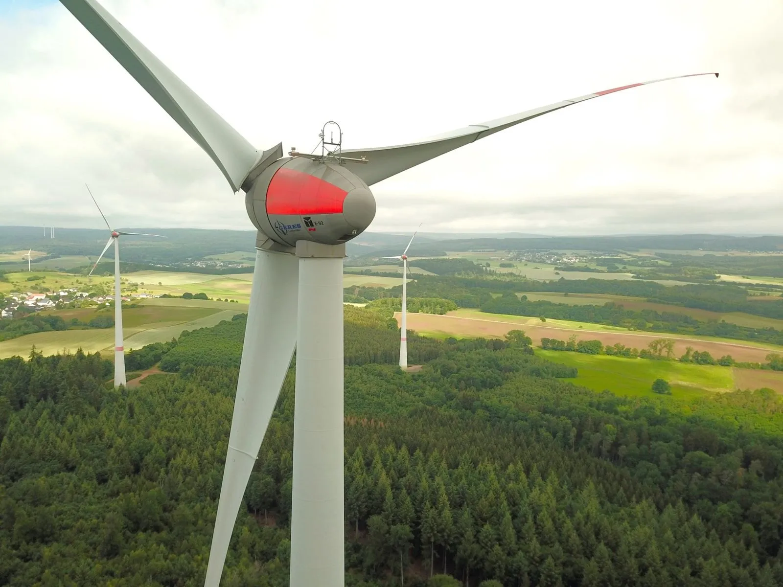
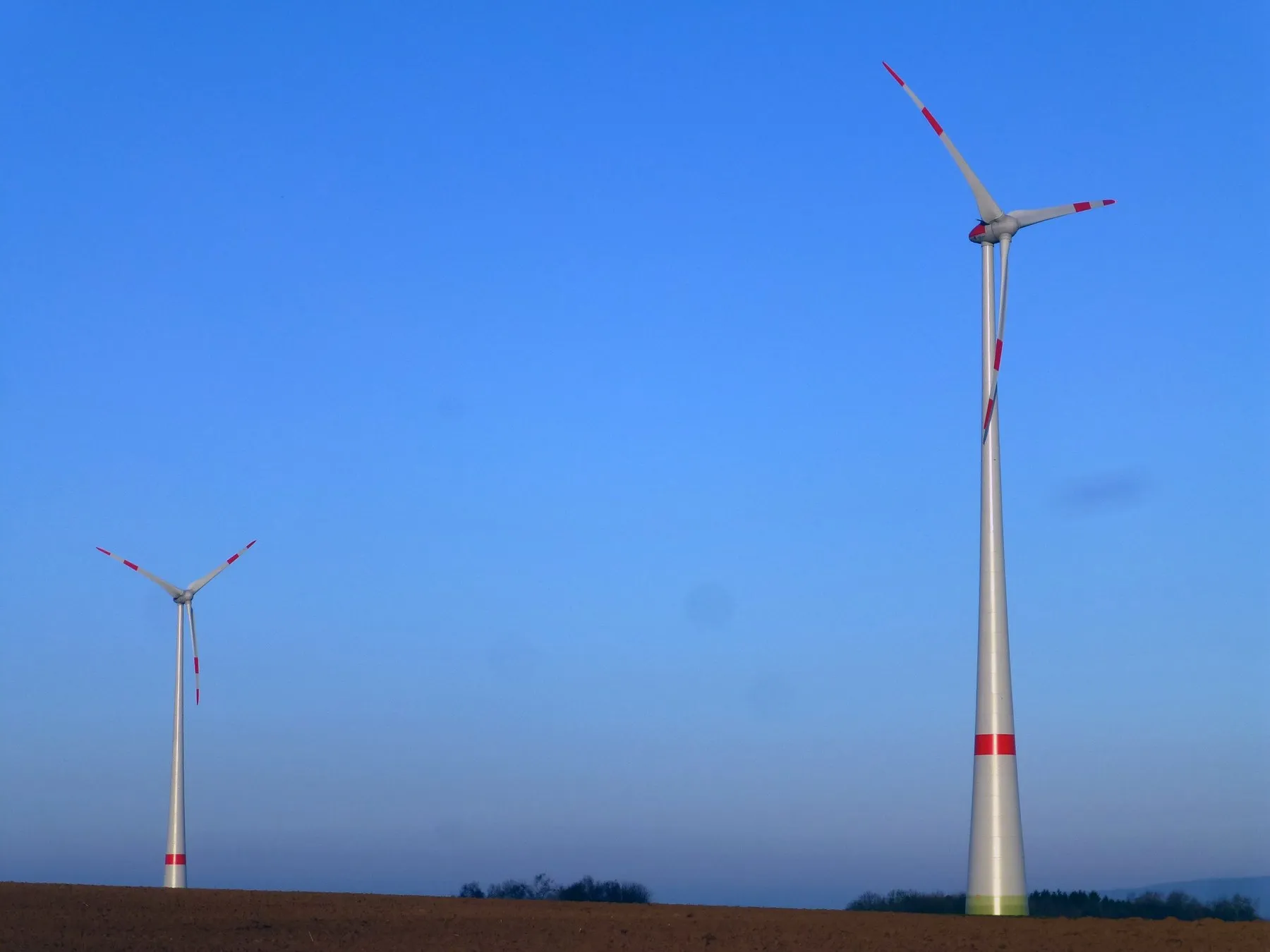
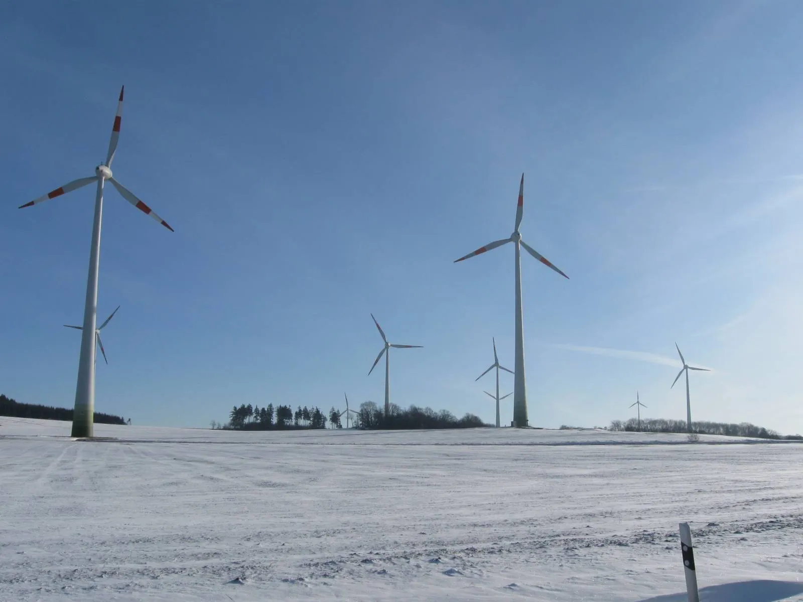
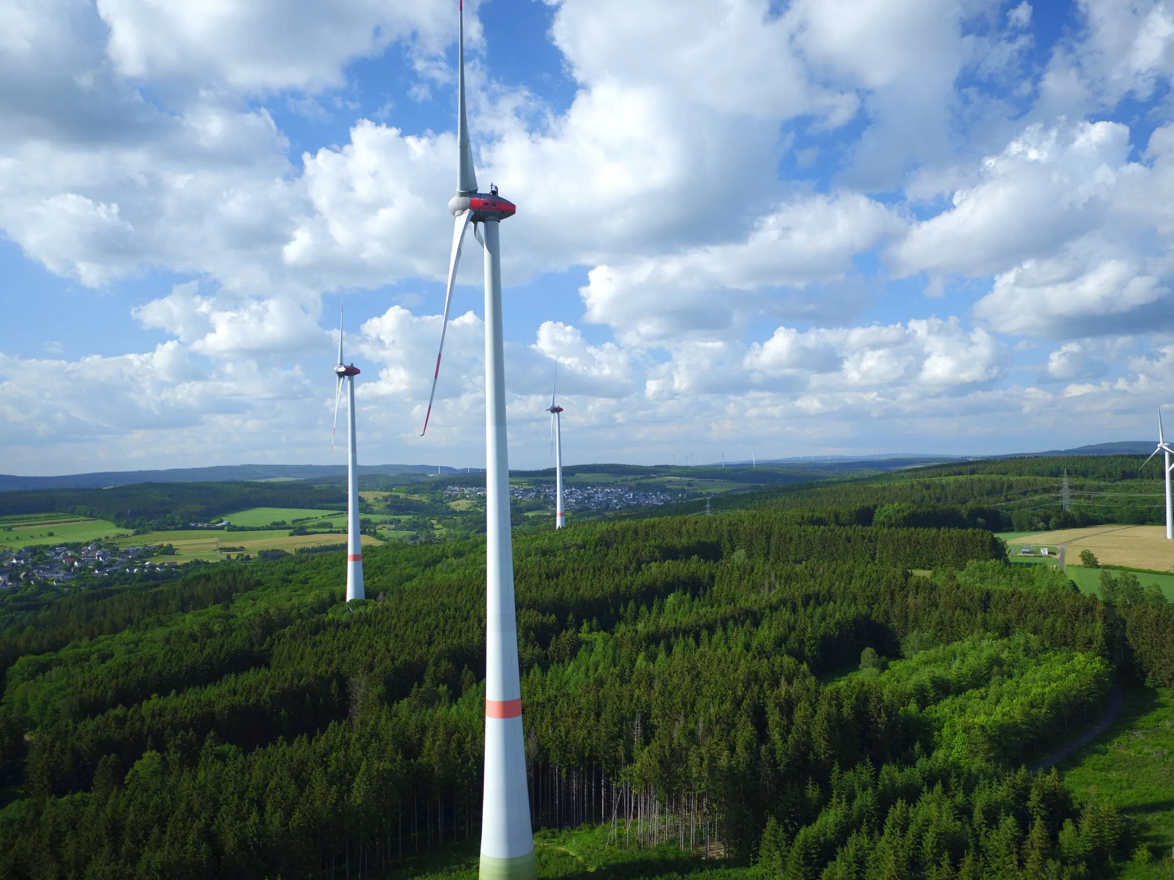
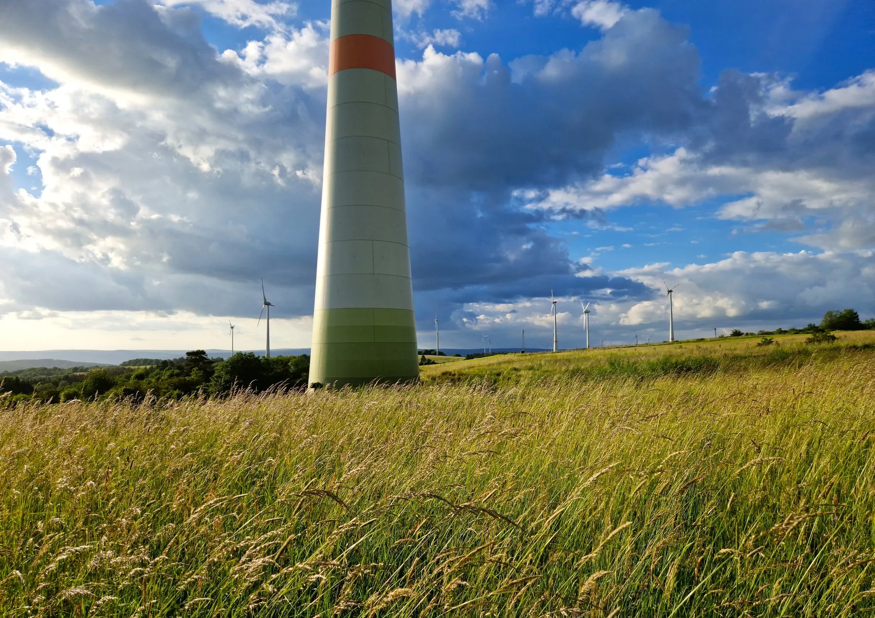
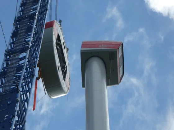
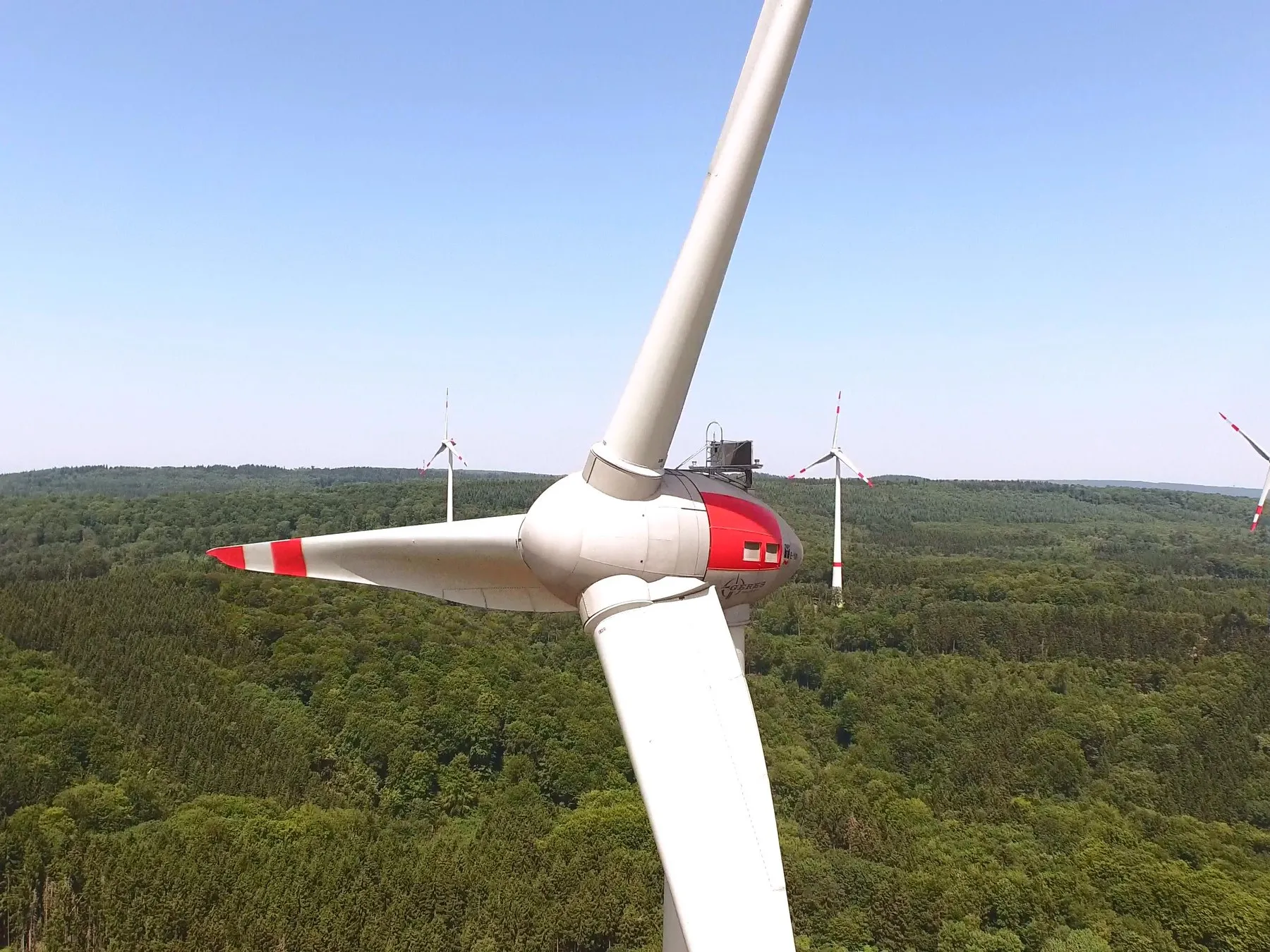
For operation, we rely on proven technology from Enercon. The gearless wind turbines are characterised by high availability, low wear and efficient operation, and so make an important contribution to the quality and profitability of our projects.

At present, the GERES-Group operates wind turbines with an installed capacity of 166 megawatts. Further projects are in development, permitting or construction and will continue to expand our generation portfolio in the coming years.

Locations

Our wind farms in Germany

Twelve wind farms in Rheinland-Pfalz, Saarland and Thüringen.

96237481510
EitzweilerMeckenbachAchtelsbachBirkenfeldGimbweilerSitzerathPrimstalGrimburg

Wind farm: click for figures and, where available, the 3D viewWind farm: tap for figures and a photoHead office

Eichsfeld, Thüringen

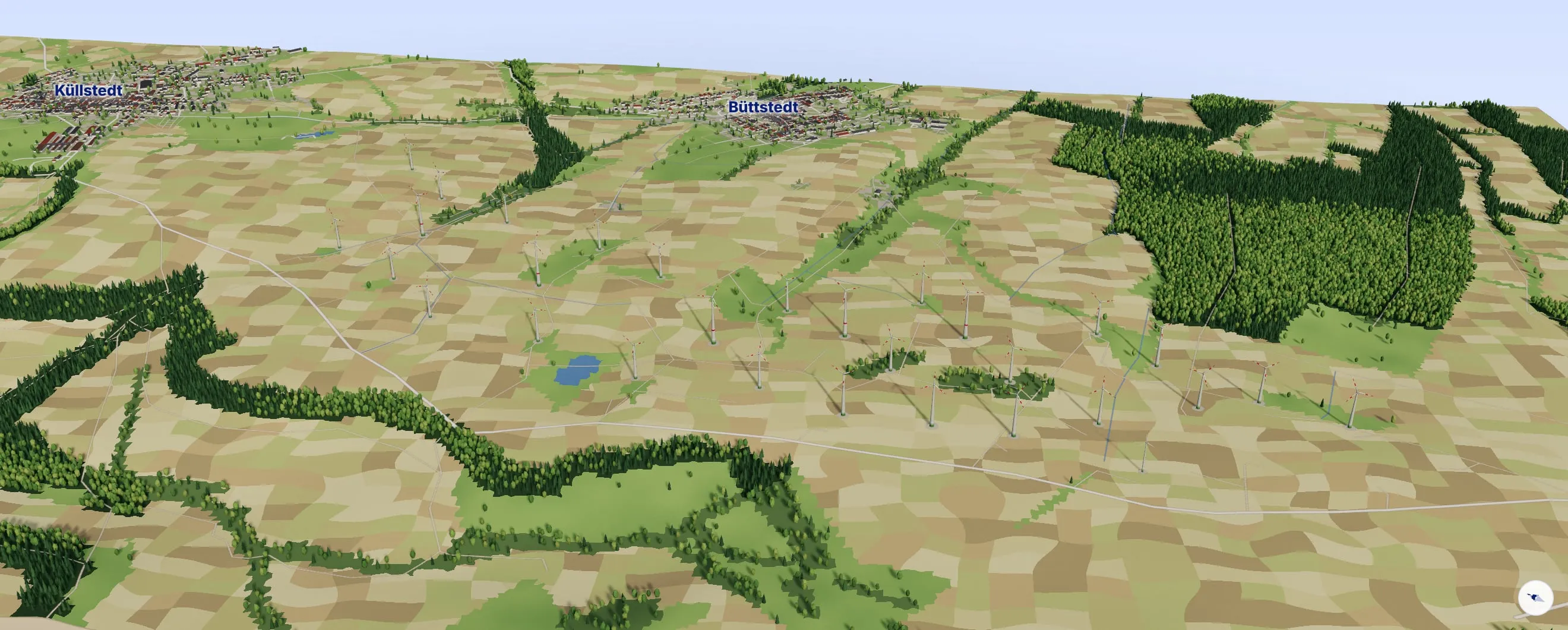
WP Büttstedt

30 turbines · 55.8 MW

Wind farm in the Eichsfeld in northern Thüringen. With 30 turbines it is the largest wind farm in the portfolio of the GERES-Group.

WP Büttstedt, Eichsfeld, Thüringen
WP Eitzweiler, Landkreis St. Wendel, Saarland
WP Meckenbach, Landkreis Birkenfeld, Rheinland-Pfalz
WP Achtelsbach, Landkreis Birkenfeld, Rheinland-Pfalz
WP Birkenfeld, Landkreis Birkenfeld, Rheinland-Pfalz
WP Gimbweiler, Landkreis Birkenfeld, Rheinland-Pfalz
WP Tanna, Saale-Orla-Kreis, Thüringen
WP Sitzerath, Schwarzwälder Hochwald, Saarland
WP Primstal, Nordsaarland, Saarland
WP Grimburg, Landkreis Trier-Saarburg, Rheinland-Pfalz
WP Wolfstein, Landkreis Kusel, Rheinland-Pfalz
WP Riedelberg, Landkreis Südwestpfalz, Rheinland-Pfalz
Oblique view from the 3D model, true to scale: Büttstedt wind farm. 30 wind turbines near Küllstedt, Büttstedt and Struth; terrain, woods, fields and houses from an elevation model and OpenStreetMap.
  • Enercon E-82
  • Enercon E-70 E4
  • Enercon E-66/18.70
  • Enercon E-40/6.44
Büttstedt wind farm · Eichsfeld, Thüringen · between Küllstedt and BüttstedtMap data © OpenStreetMap contributorsTerrain: Copernicus DEM GLO-30 (© DLR, Airbus DS, EU and ESA)
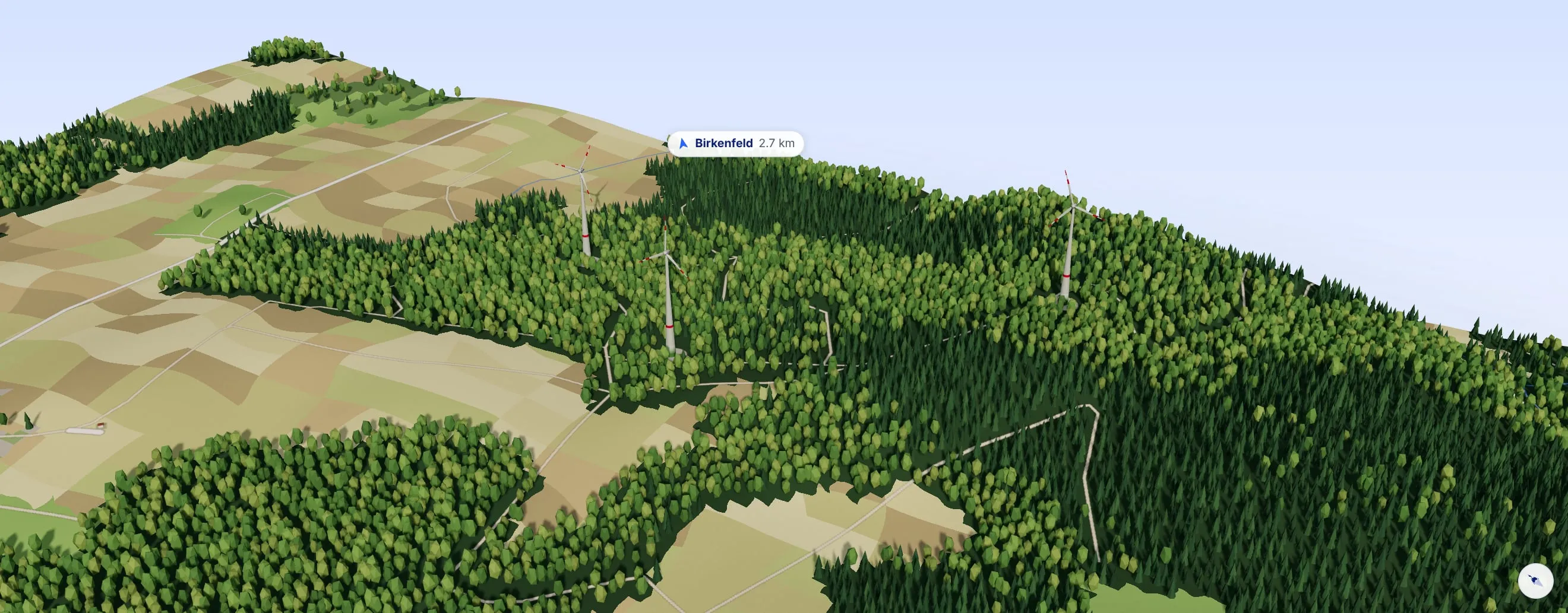
Oblique view from the 3D model, true to scale: Birkenfeld wind farm. 3 wind turbines near Dambach and Ellweiler; terrain, woods, fields and houses from an elevation model and OpenStreetMap.
  • Enercon E-92
Birkenfeld wind farm · Nahebergland, Rheinland-Pfalz · near Dambach and EllweilerMap data © OpenStreetMap contributorsTerrain: Copernicus DEM GLO-30 (© DLR, Airbus DS, EU and ESA)
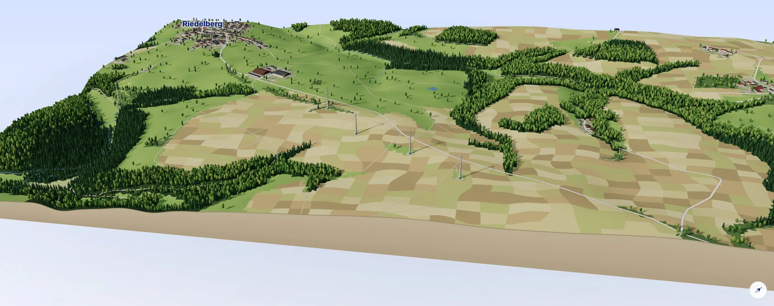
Oblique view from the 3D model, true to scale: Riedelberg wind farm. 4 wind turbines near Riedelberg and Bottenbach; terrain, woods, fields and houses from an elevation model and OpenStreetMap.
  • Enercon E-82
  • Enercon E-70 E4
Riedelberg wind farm · Landkreis Südwestpfalz, Rheinland-Pfalz · between Riedelberg and BottenbachMap data © OpenStreetMap contributorsTerrain: Copernicus DEM GLO-30 (© DLR, Airbus DS, EU and ESA)
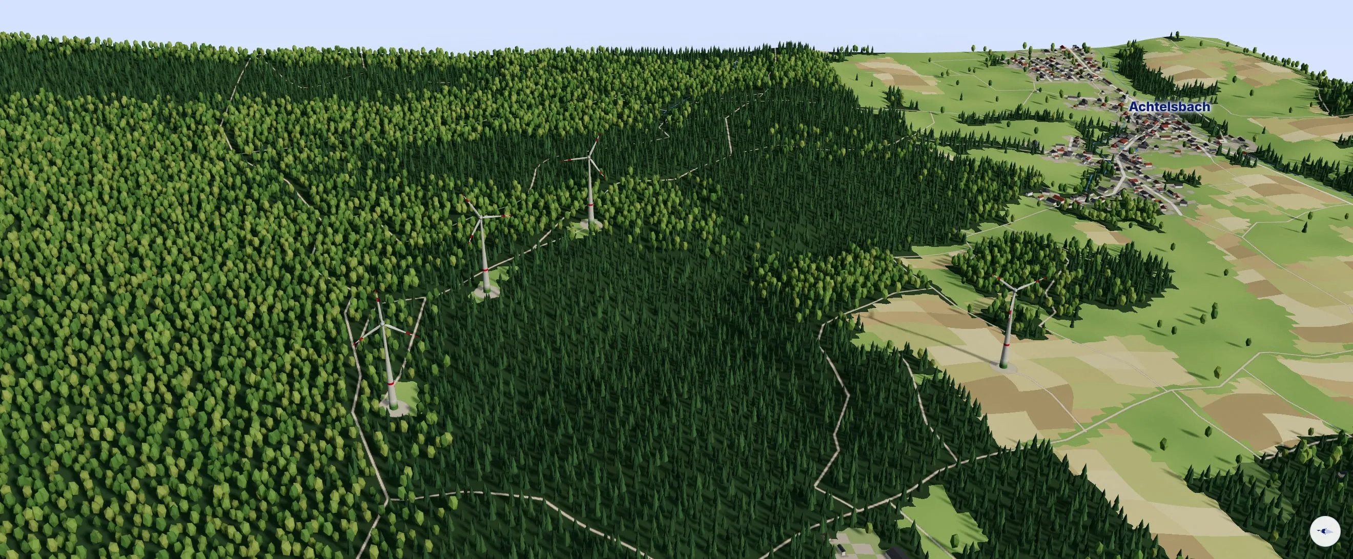
Oblique view from the 3D model, true to scale: Achtelsbach wind farm. 4 wind turbines near Achtelsbach; terrain, woods, fields and houses from an elevation model and OpenStreetMap.
  • Enercon E-101
Achtelsbach wind farm · Landkreis Birkenfeld, Rheinland-PfalzMap data © OpenStreetMap contributorsTerrain: Copernicus DEM GLO-30 (© DLR, Airbus DS, EU and ESA)
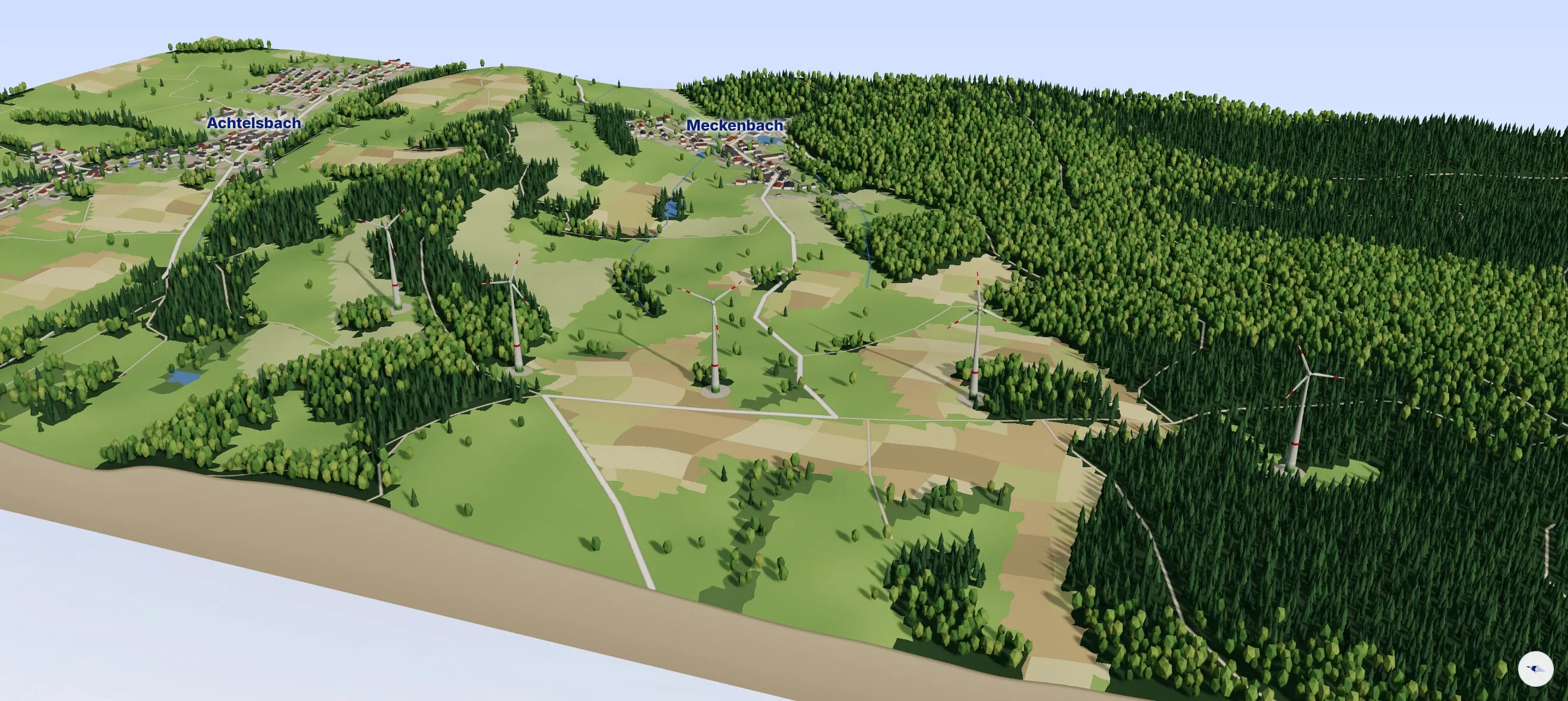
Oblique view from the 3D model, true to scale: Meckenbach wind farm. 5 wind turbines near Achtelsbach and Meckenbach; terrain, woods, fields and houses from an elevation model and OpenStreetMap.
  • Enercon E-101
  • Enercon E-92
Meckenbach wind farm · Landkreis Birkenfeld, Rheinland-PfalzMap data © OpenStreetMap contributorsTerrain: Copernicus DEM GLO-30 (© DLR, Airbus DS, EU and ESA)
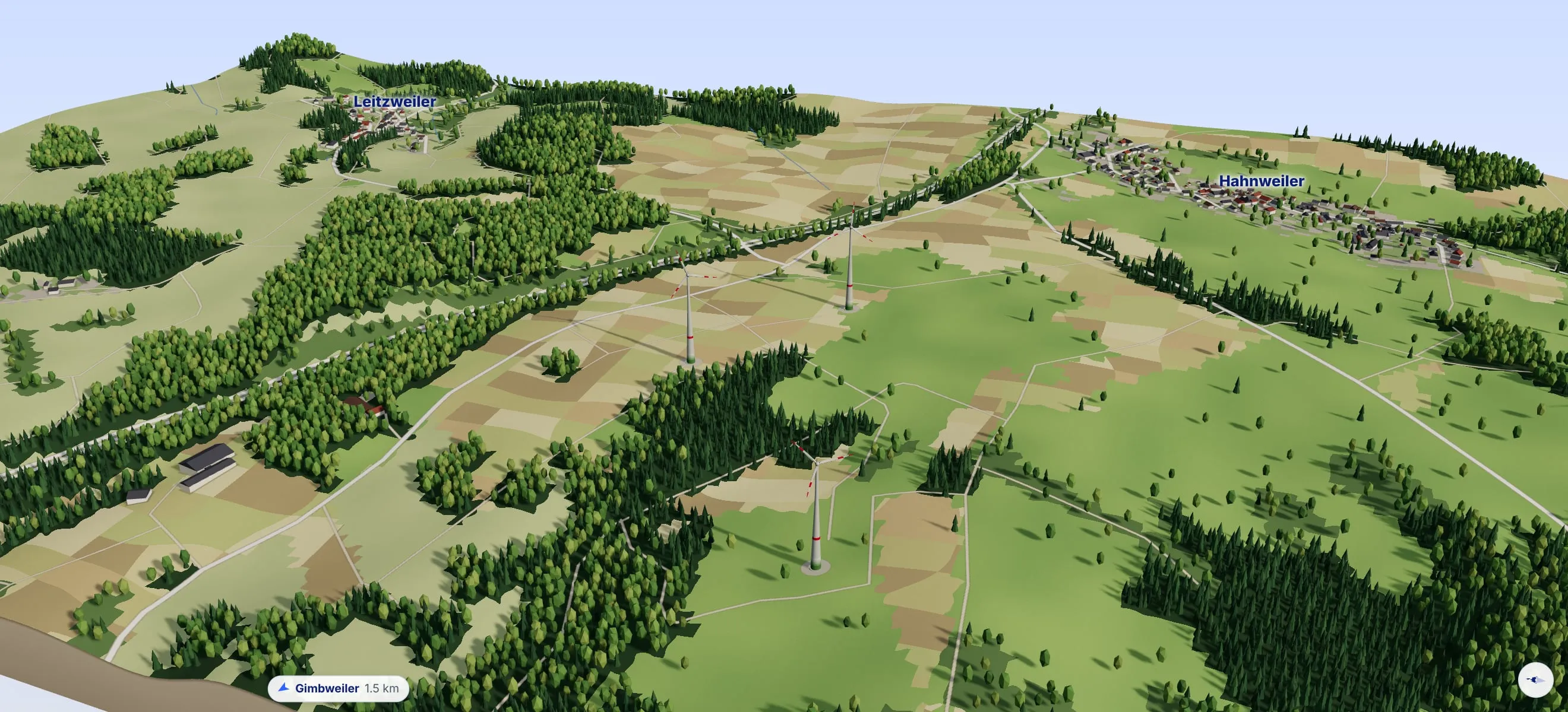
Oblique view from the 3D model, true to scale: Gimbweiler wind farm. 3 wind turbines near Hahnweiler and Leitzweiler; terrain, woods, fields and houses from an elevation model and OpenStreetMap.
  • Enercon E-82
Gimbweiler wind farm · Landkreis Birkenfeld, Rheinland-PfalzMap data © OpenStreetMap contributorsTerrain: Copernicus DEM GLO-30 (© DLR, Airbus DS, EU and ESA)
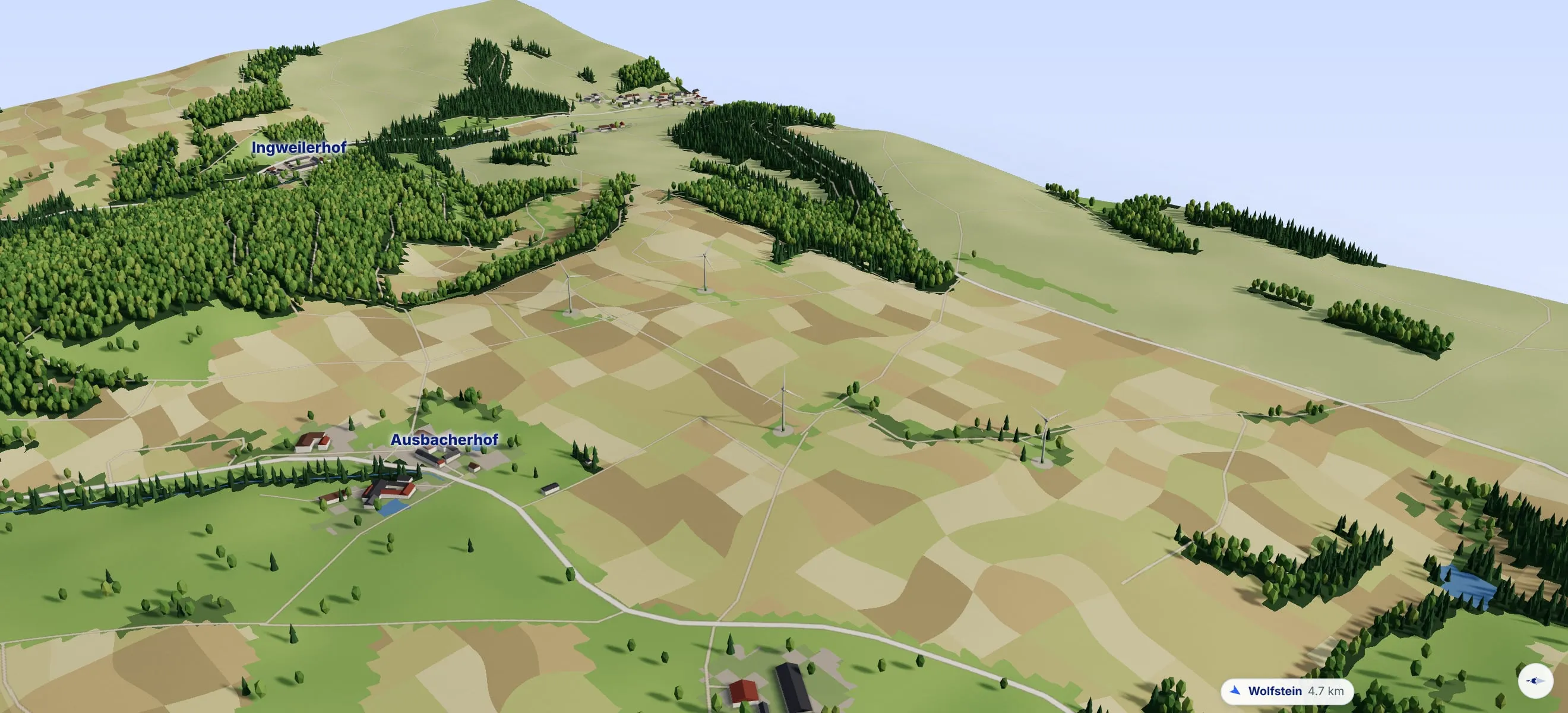
Oblique view from the 3D model, true to scale: Wolfstein wind farm. 4 wind turbines near Einöllen, Ausbacherhof and Ingweilerhof; terrain, woods, fields and houses from an elevation model and OpenStreetMap.
  • Enercon E-70 E4
Wolfstein wind farm · Landkreis Kusel, Rheinland-PfalzMap data © OpenStreetMap contributorsTerrain: Copernicus DEM GLO-30 (© DLR, Airbus DS, EU and ESA)
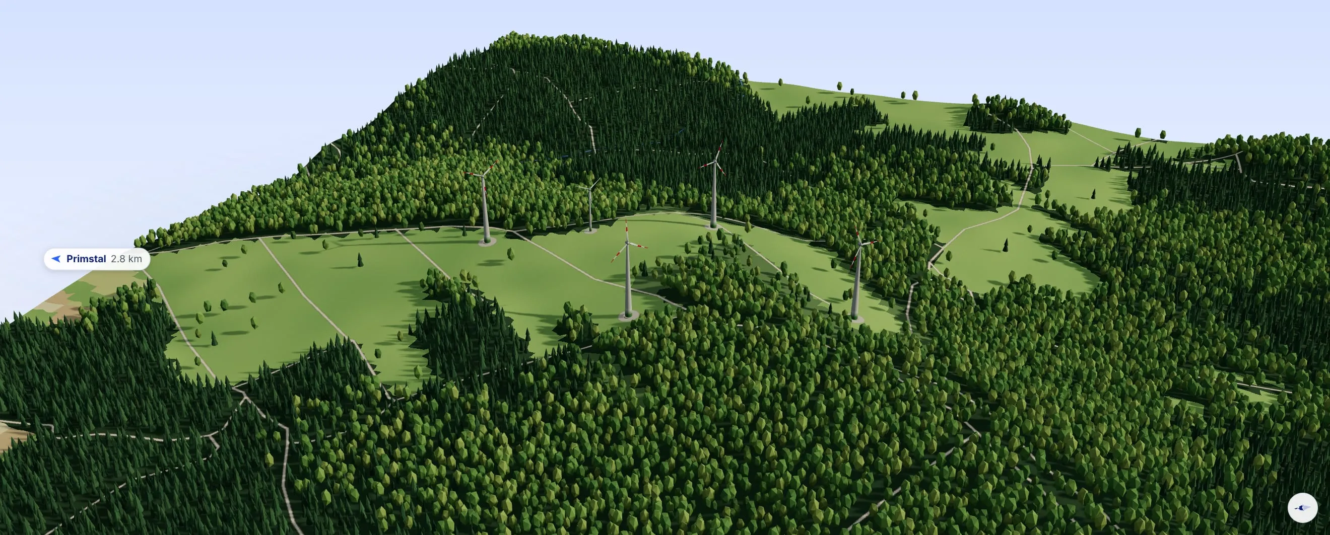
Oblique view from the 3D model, true to scale: Primstal wind farm. 5 wind turbines near Überroth-Niederhofen; terrain, woods, fields and houses from an elevation model and OpenStreetMap.
  • Enercon E-70 E4
  • Enercon E-53
Primstal wind farm · Nordsaarland, SaarlandMap data © OpenStreetMap contributorsTerrain: Copernicus DEM GLO-30 (© DLR, Airbus DS, EU and ESA)
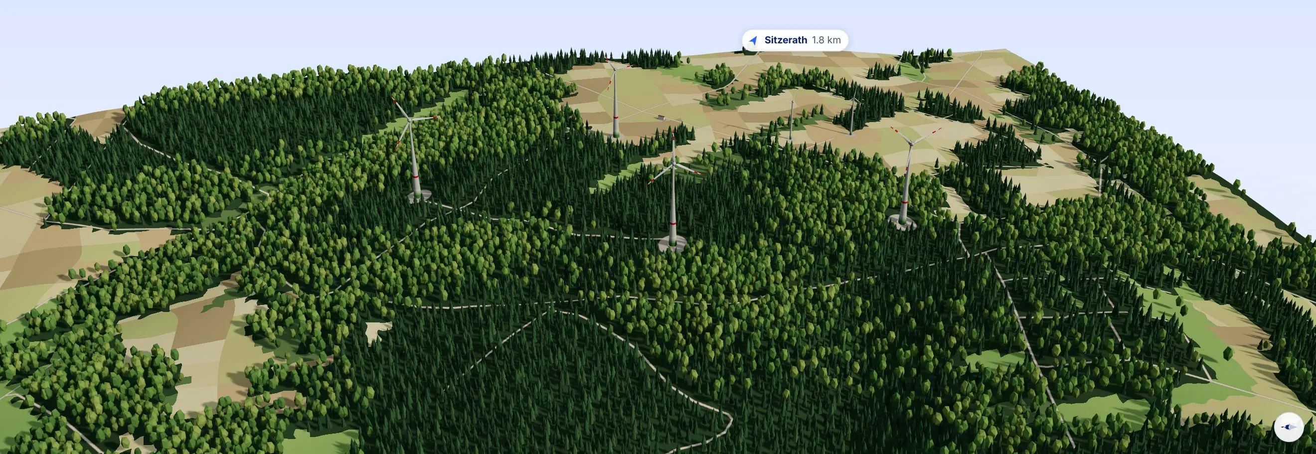
Oblique view from the 3D model, true to scale: Sitzerath wind farm. 6 wind turbines near Grimburg; terrain, woods, fields and houses from an elevation model and OpenStreetMap.
  • Enercon E-115
  • Enercon E-82
  • Enercon E-40/6.44
Sitzerath wind farm · Schwarzwälder Hochwald, SaarlandMap data © OpenStreetMap contributorsTerrain: Copernicus DEM GLO-30 (© DLR, Airbus DS, EU and ESA)
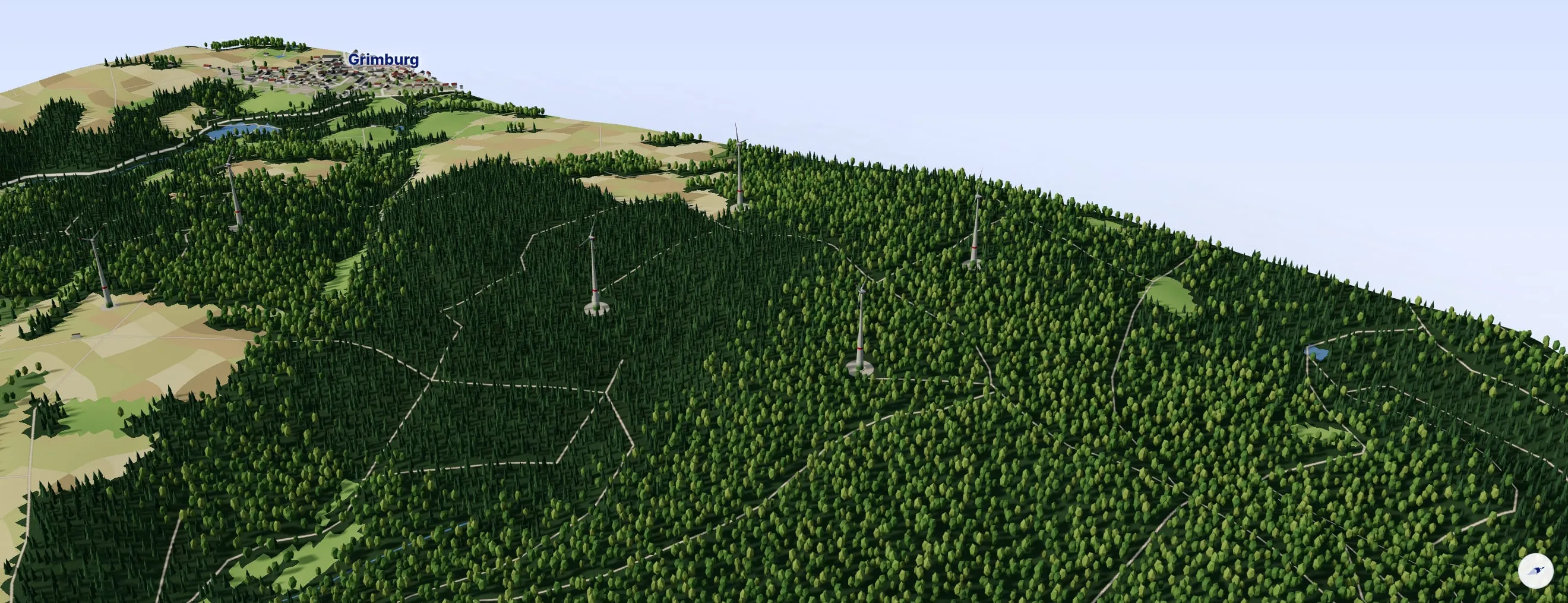
Oblique view from the 3D model, true to scale: Grimburg wind farm. 4 wind turbines near Sitzerath and Grimburg; terrain, woods, fields and houses from an elevation model and OpenStreetMap.
  • Enercon E-115
Grimburg wind farm · Landkreis Trier-Saarburg, Rheinland-PfalzMap data © OpenStreetMap contributorsTerrain: Copernicus DEM GLO-30 (© DLR, Airbus DS, EU and ESA)
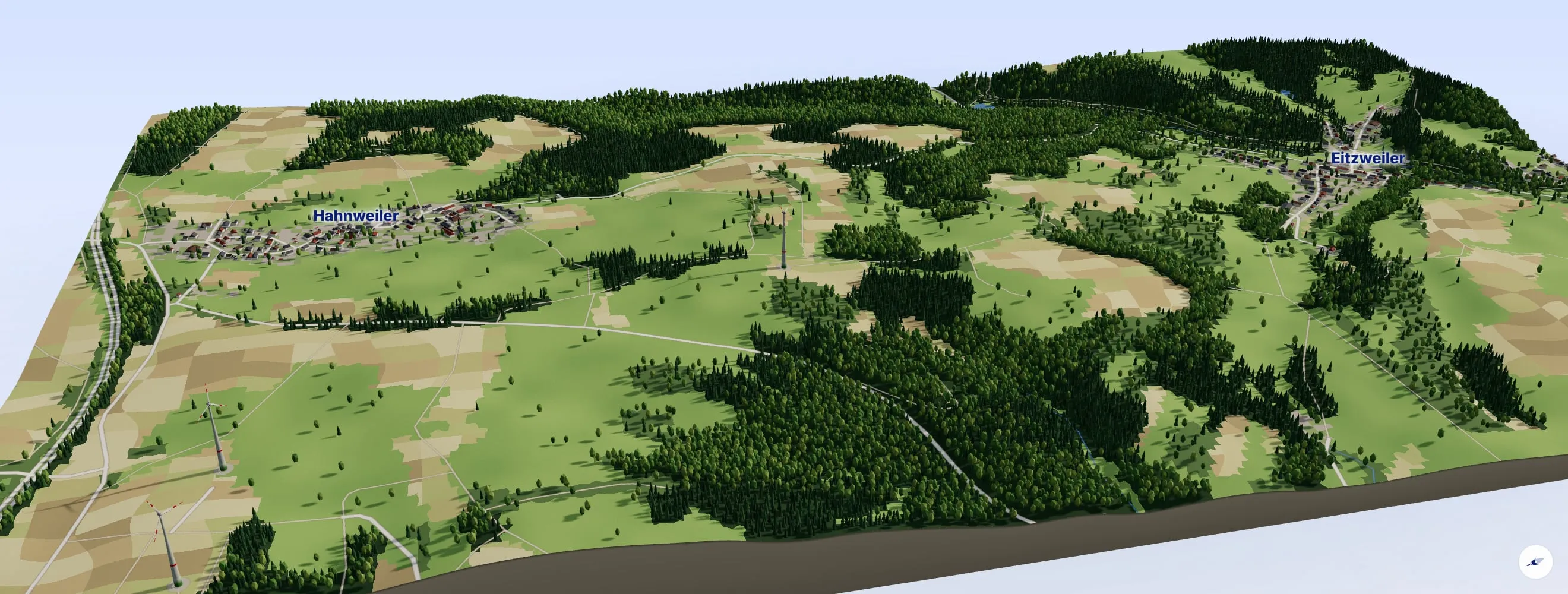
Oblique view from the 3D model, true to scale: Eitzweiler wind turbine. 1 wind turbines near Hahnweiler and Eitzweiler; terrain, woods, fields and houses from an elevation model and OpenStreetMap.
  • Enercon E-82
Eitzweiler wind turbine · Landkreis St. Wendel, SaarlandMap data © OpenStreetMap contributorsTerrain: Copernicus DEM GLO-30 (© DLR, Airbus DS, EU and ESA)
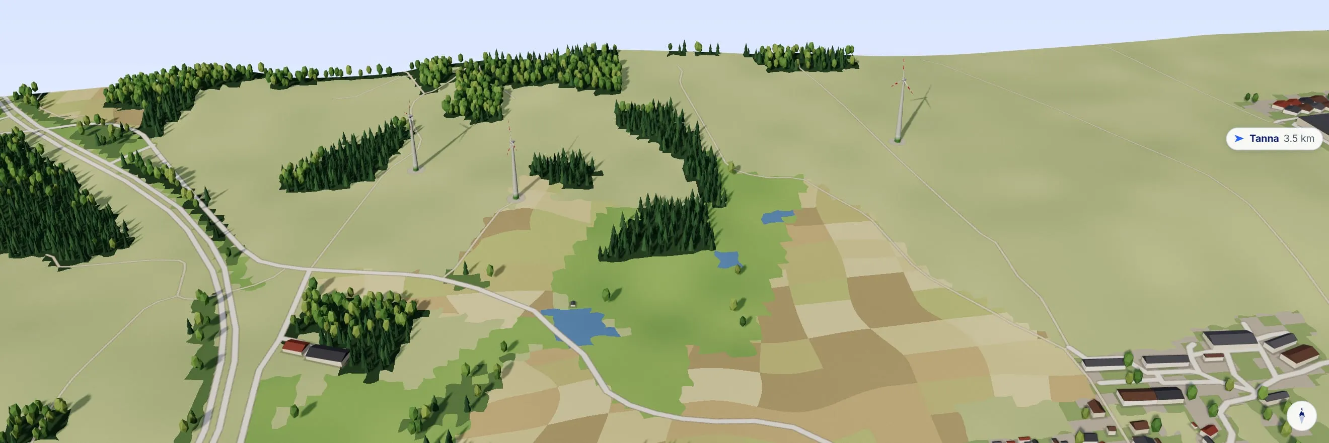
Oblique view from the 3D model, true to scale: Tanna wind farm. 3 wind turbines near Schilbach; terrain, woods, fields and houses from an elevation model and OpenStreetMap.
  • Enercon E-70 E4
  • Enercon E-66/18.70
Tanna wind farm · Saale-Orla-Kreis, ThüringenMap data © OpenStreetMap contributorsTerrain: Copernicus DEM GLO-30 (© DLR, Airbus DS, EU and ESA)

Current projects

What is being built

All projects
  • Under constructionRheinland-Pfalz

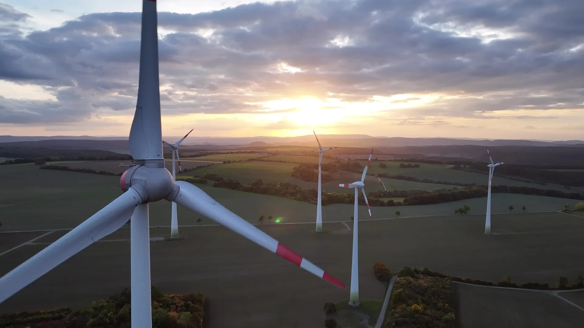
    Siesbach Süd wind farm

    Three Enercon E-⁠138 turbines south of Siesbach. The infrastructure is in place, and the foundations are now being built. Commissioning planned for 2027.

  • PermittedThüringen

    Repowering of the Büttstedt wind farm

    Six modern turbines will replace seven first-generation ones. Permitted in March 2026, with construction planned to start in the fourth quarter of 2027.
  • Visualisation

    In planningThüringen

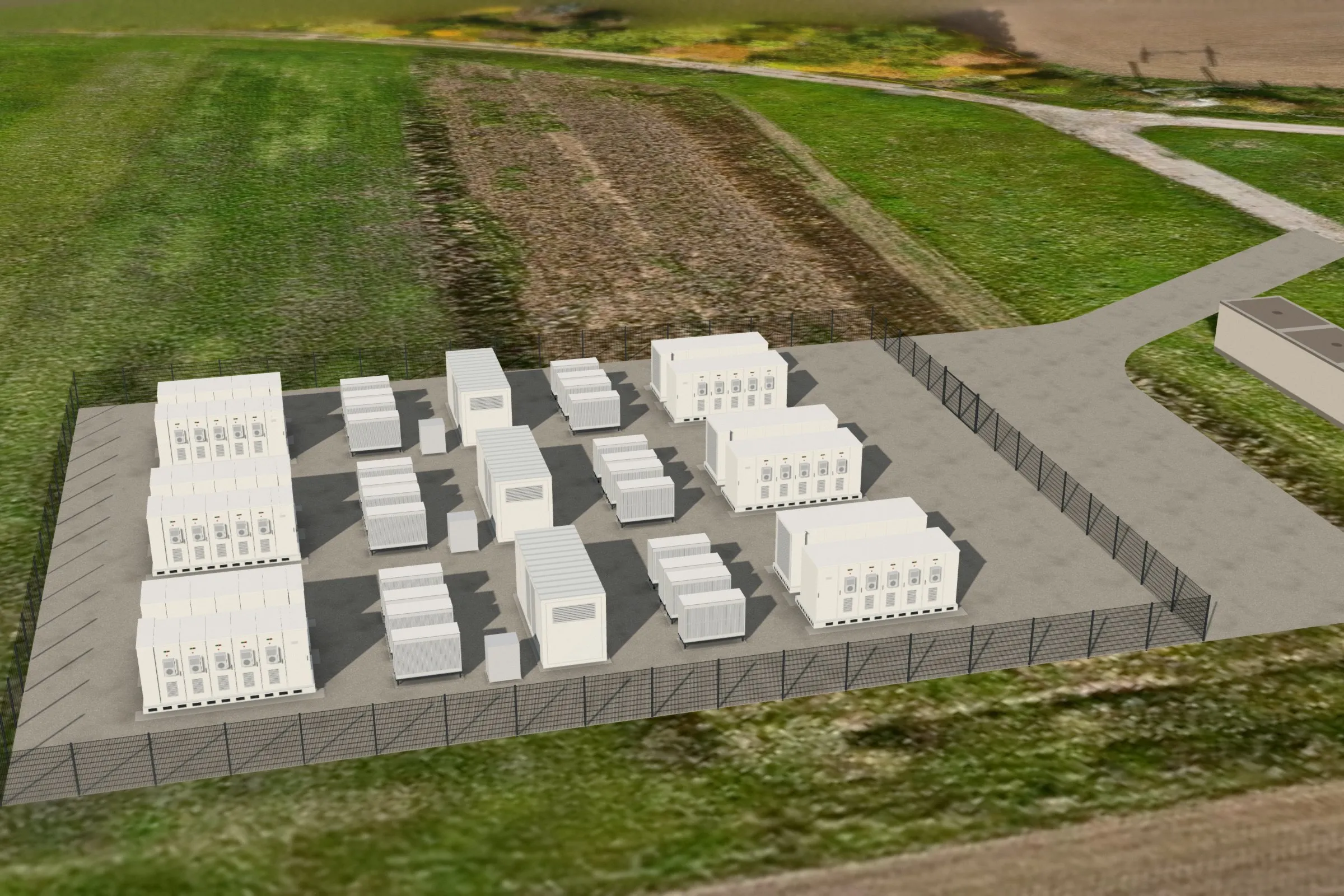
    Breitenbich battery storage

    A storage system with 18 megawatts and 40 megawatt hours right next to our substation. The site is secured and the feed-in approved.

Project process

Seven steps through the whole life of a wind farm

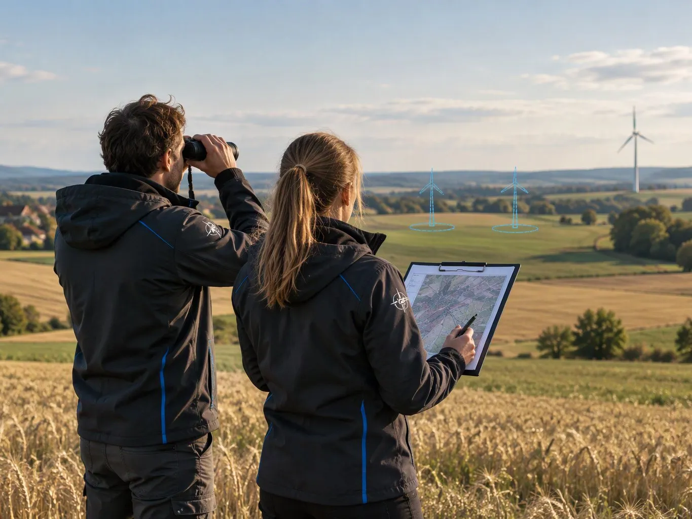
Every phase stays in one pair of hands. That shortens lines of coordination and makes the commitments we give to municipalities and landowners dependable.

STEP 01

Evaluation

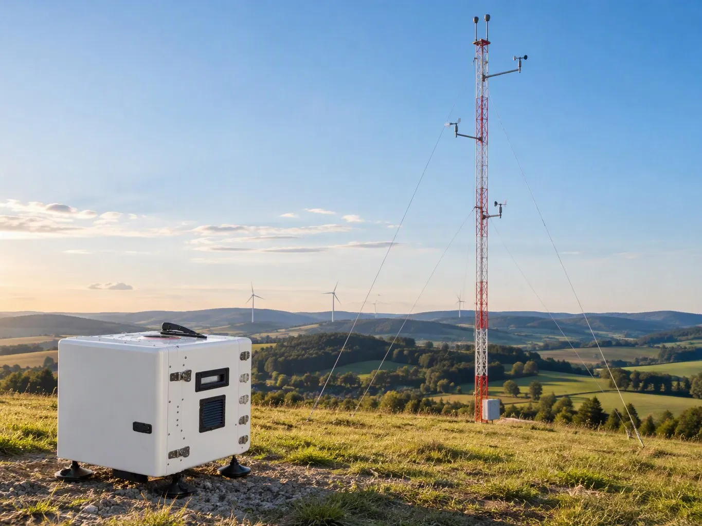
It begins with the sober question of whether a site will support a project at all. We measure the wind on site with our own LiDAR device: it scans the air by laser at several heights, up to beyond the future hub height. We also look at the distances to residential development, clarify the planning status in the land use plan and the regional plan, and look for the nearest suitable grid connection point.

In detail

  • On-site wind measurement with our LiDAR device
  • Distances to residential development and infrastructure
  • Designation in the regional plan and the land use plan
  • Distance to and capacity at the grid connection point

Involved: GERES project development, grid operator
The technology explained

One turbine, five components

Select a component and see what it contributes to the whole, from the rotor blade to the grid connection.

Hub height12345

01 · Component

Rotor blades

Three rotor blades made of glass-fibre reinforced plastic convert the flow of the wind into rotation. Each blade can be pitched individually around its own axis: this is how the turbine regulates its output, and in a storm the blades turn out of the wind. The rotor turns calmly, at only a few revolutions per minute.

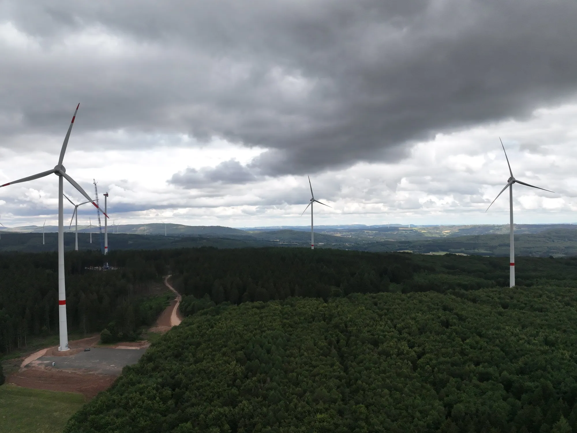
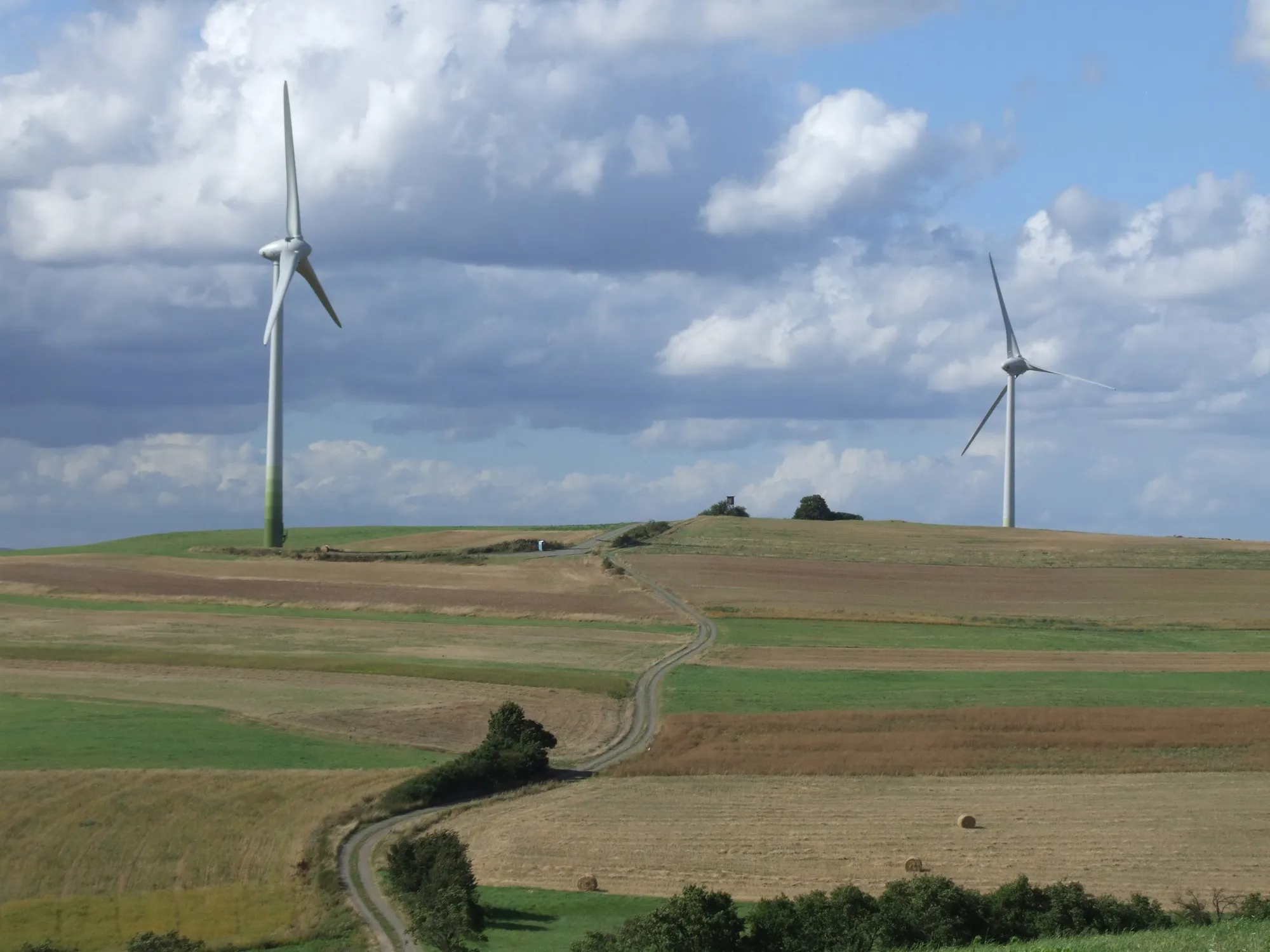
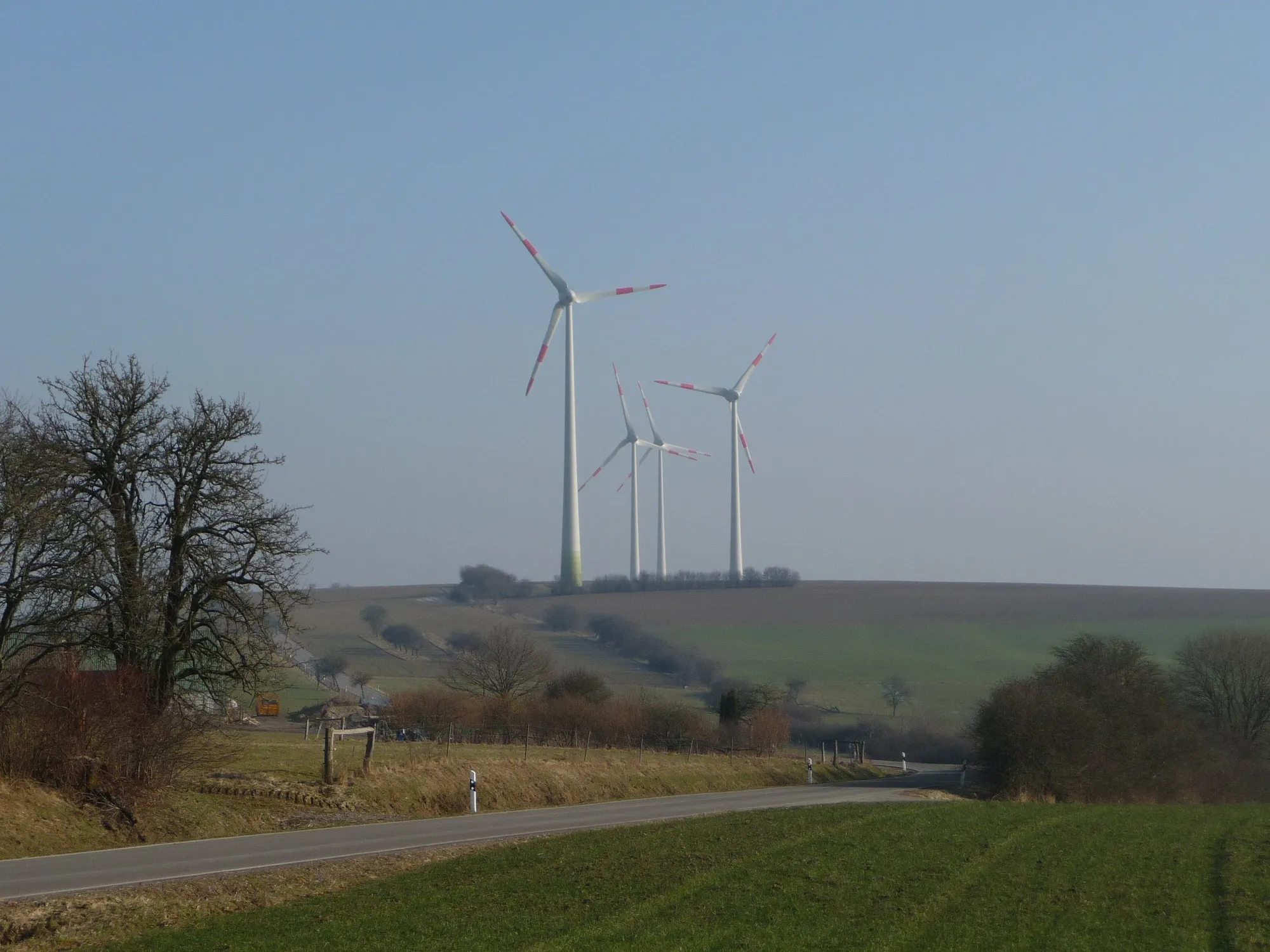
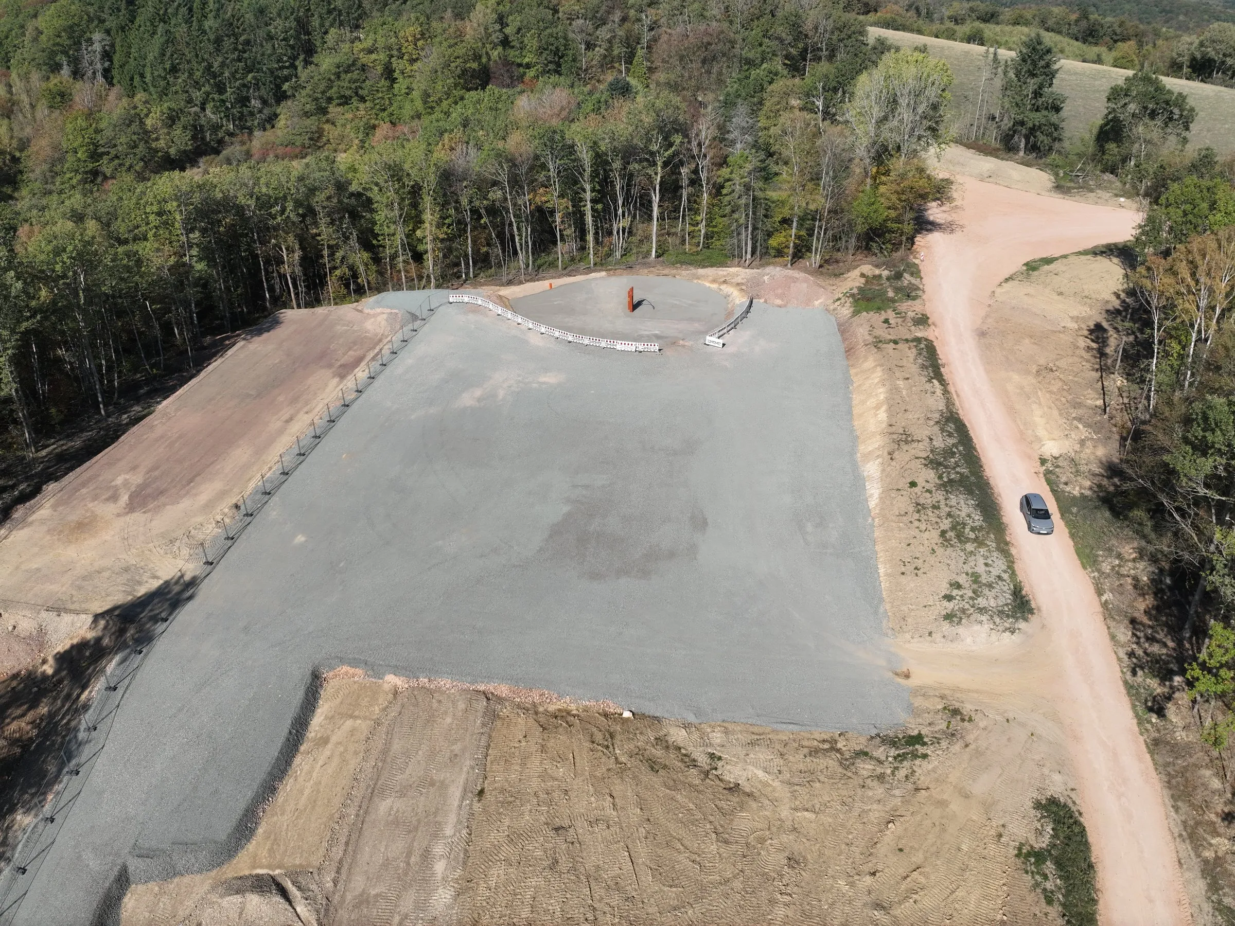
Impressions from the wind farms

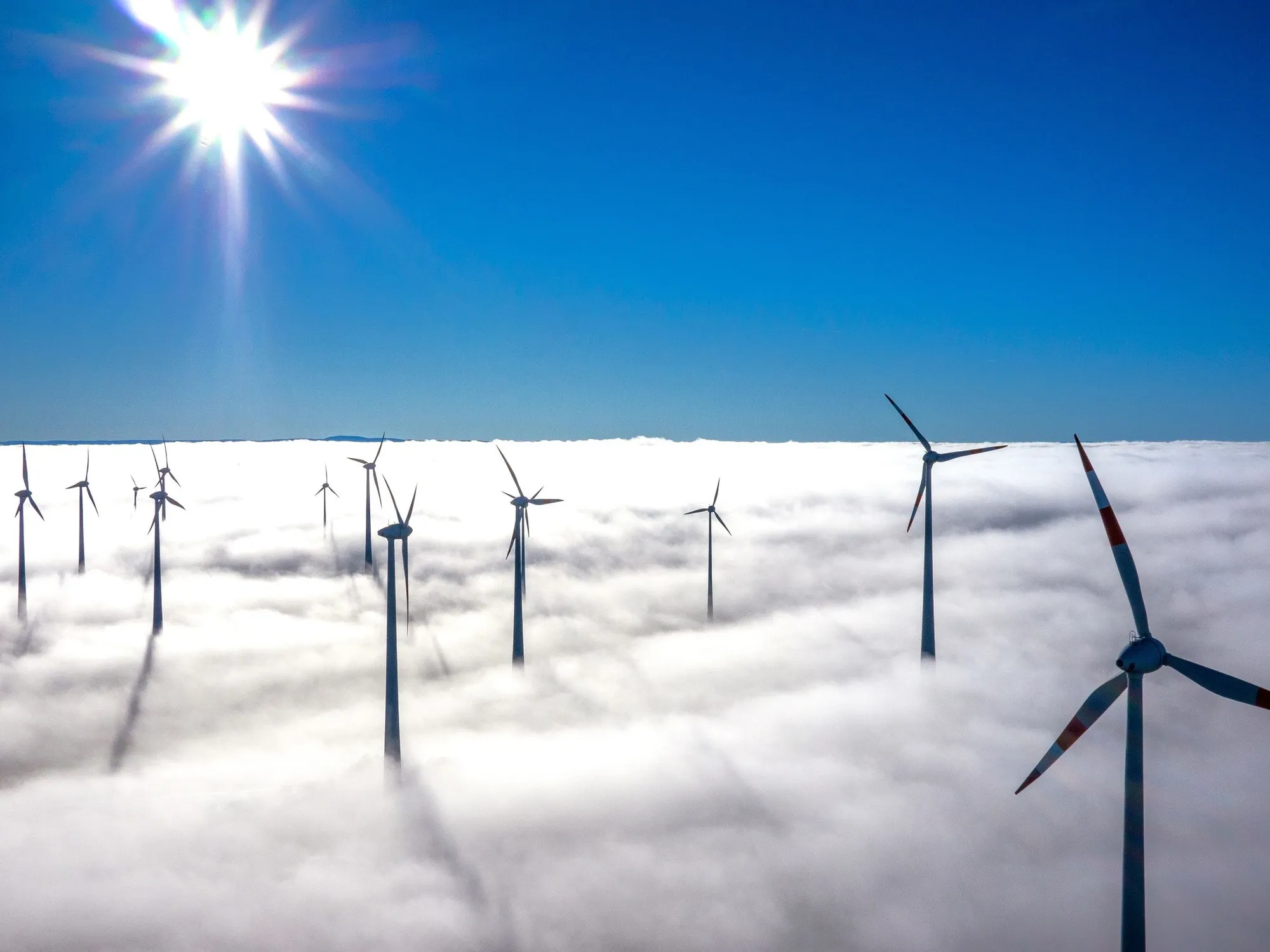
Images from the construction and operation of our turbines.
  • WP Büttstedt, Eichsfeld, Thüringen
    WP BüttstedtEichsfeld, Thüringen
  • WP Eitzweiler, Landkreis St. Wendel, Saarland
    WP EitzweilerLandkreis St. Wendel, Saarland
  • WP Meckenbach, Landkreis Birkenfeld, Rheinland-Pfalz
    WP MeckenbachLandkreis Birkenfeld, Rheinland-Pfalz
  • WP Achtelsbach, Landkreis Birkenfeld, Rheinland-Pfalz
    WP AchtelsbachLandkreis Birkenfeld, Rheinland-Pfalz
  • WP Birkenfeld, Landkreis Birkenfeld, Rheinland-Pfalz
    WP BirkenfeldLandkreis Birkenfeld, Rheinland-Pfalz
  • WP Gimbweiler, Landkreis Birkenfeld, Rheinland-Pfalz
    WP GimbweilerLandkreis Birkenfeld, Rheinland-Pfalz
  • WP Tanna, Saale-Orla-Kreis, Thüringen
    WP TannaSaale-Orla-Kreis, Thüringen
  • WP Sitzerath, Schwarzwälder Hochwald, Saarland
    WP SitzerathSchwarzwälder Hochwald, Saarland
  • WP Primstal, Nordsaarland, Saarland
    WP PrimstalNordsaarland, Saarland
  • WP Grimburg, Landkreis Trier-Saarburg, Rheinland-Pfalz
    WP GrimburgLandkreis Trier-Saarburg, Rheinland-Pfalz
  • WP Wolfstein, Landkreis Kusel, Rheinland-Pfalz
    WP WolfsteinLandkreis Kusel, Rheinland-Pfalz
  • WP Riedelberg, Landkreis Südwestpfalz, Rheinland-Pfalz
    WP RiedelbergLandkreis Südwestpfalz, Rheinland-Pfalz

Do you have a site suitable for wind energy?

We assess sites with no predetermined outcome and come back to you with an honest appraisal.